Supporting Question 1- What are map symbols and how do I use them?
- Source A: PSD technology, video on map symbols, 2nd Grade Understanding and Making Maps Symbols, 2013
Reproduced with permission from SchoolMedia, Inc. Available on YouTube: https://www.youtube.com/watch?v=v9nOie2mmr0.
- Source B: Image bank: Photographs and maps
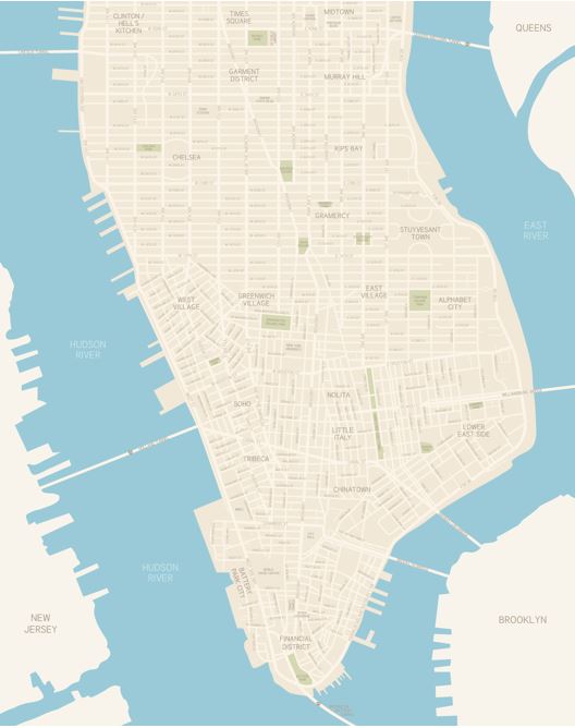
Image 1: Photograph of New York City © iStock / © dolphinphoto
 © iStock / © crossroadscreative.
Supporting Question 2- What are cardinal directions and how do I use them?
- Source A: Susan LaBella, article about maps, “Learn about Maps,” 2015.
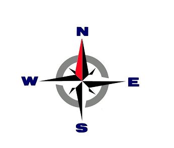
A compass rose is a symbol found on maps. It shows directions. The compass rose has four main points. One point shows which way is north. Another shows south. Other points show east and west
- Source B: Image bank: Cardinal directions
© National Geographic. Used with permission. Map courtesy National Geographic Learning/Cengage Learning.
http://education.nationalgeographic.com/education/activity/sun-earth-and-cardinal-directions/?ar_a=1
Supporting Question 3 - What are the other tools on a map and how do they work?
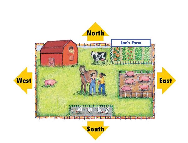
Image 2: Map of a Community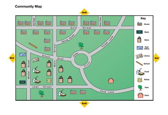 © National Geographic. Used with permission. Map courtesy National Geographic Learning/Cengage Learning. http://education.nationalgeographic.com/education/activity/exploring-maps-and-models/?ar_a=1
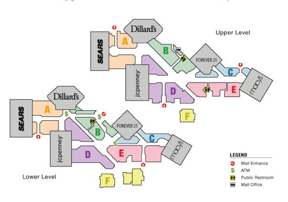
- Image 4: Map of a mall.
Supporting Question 4- How can I make a map of a real-life place?
- Source A: "How to Draw a Map"
- Source B: Film Associates of California, video description of how to create a map of the neighborhood around the school, How to Make a Map for Kids, 1964 Teachers and students can view this video by clicking on the following link: https://www.youtube.com/watch?v=Bkd0poDm9rY